


Géométrie précise et modèles riches en métadonnées.

Processus de travail clairs, structurés et conformes.
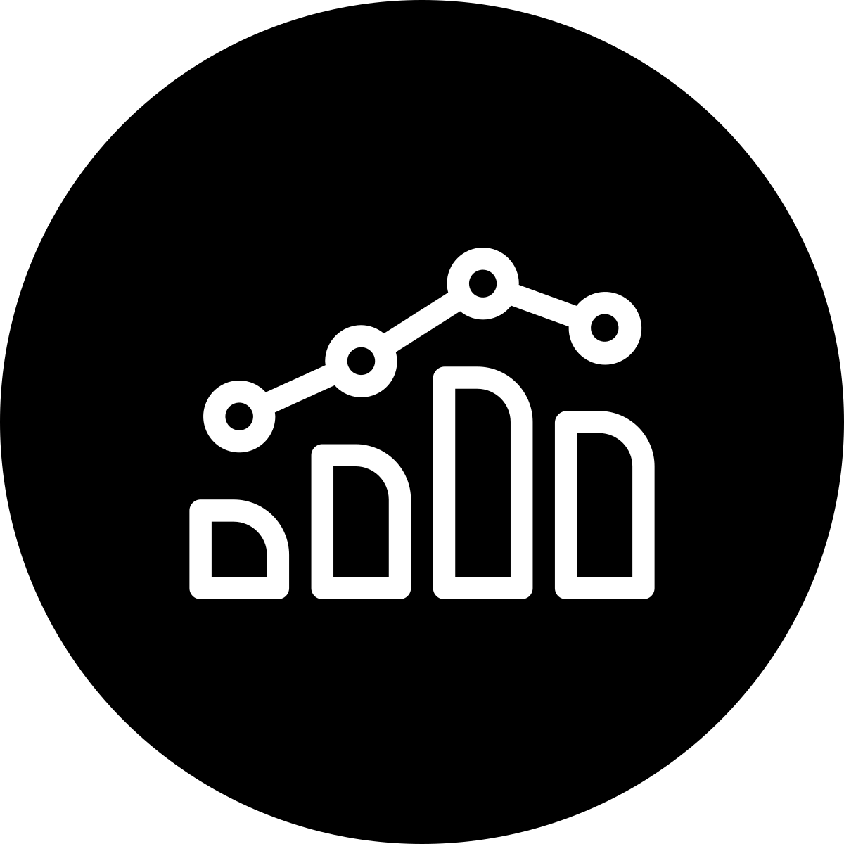
Intégrer la gestion du temps, des coûts et des installations.

Identifier les conflits de conception avant qu'ils ne deviennent coûteux.

Constructions précises et prévisions budgétaires fiables.
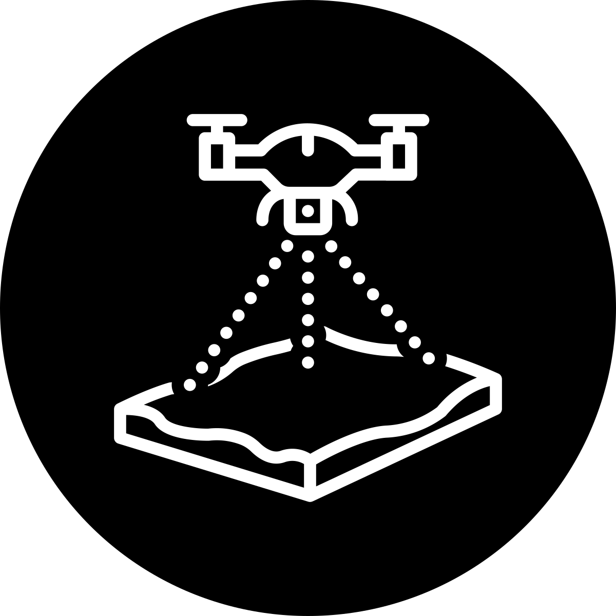
Cartographie de terrain de haute précision à partir d'images aériennes.

Volume précis des stocks et des travaux de terrassement par drone.
Des mises à jour en temps réel depuis le ciel.