Boost project efficiency with 3D BIM models, drone-based surveying, and data-driven management tools.
What We Do
We provide advanced Building Information Modeling (BIM) services and drone-based solutions, offered independently or combined for greater impact. Whether it’s accurate terrain mapping, detailed 3D modeling, or comprehensive project coordination, we help architecture, engineering, and construction (AEC) teams reduce risks, control costs, and improve collaboration at every project stage.

Accurate geometry and metadata-rich models.

Structured workflows and compliance.

Integrating time, cost, and facility management.

Identify design conflicts before they become costly.

Accurate builds and reliable budget forecasts.

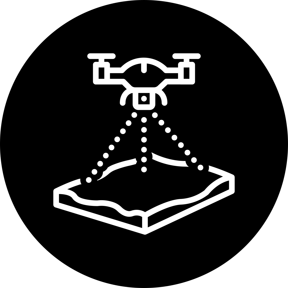
High-precision terrain mapping from aerial imagery.

Precise drone-based stockpile and earthwork volumes.

Real-time updates from the sky.
A browser-based BIM app for property and facility teams that centralizes BIM models, drawings, and O&M in one place so handover is easy.
FREE DEMO
Schedule a call to quickly understand if DBAbim can improve your workflow.
ENQUIRIES
Do you simply have a quick question and you to confirm something?
Achieve better decisions and superior results with high-resolution data:
Maximize project efficiency by leveraging 3D models and real-time data for seamless collaboration:
Why Choose Us
We use cookies to enhance your experience. Choose which cookies you allow: